About
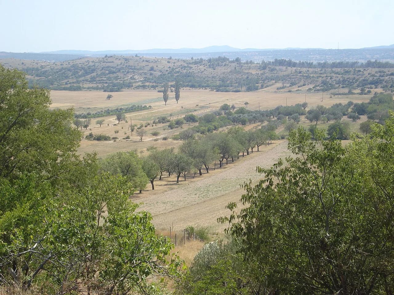
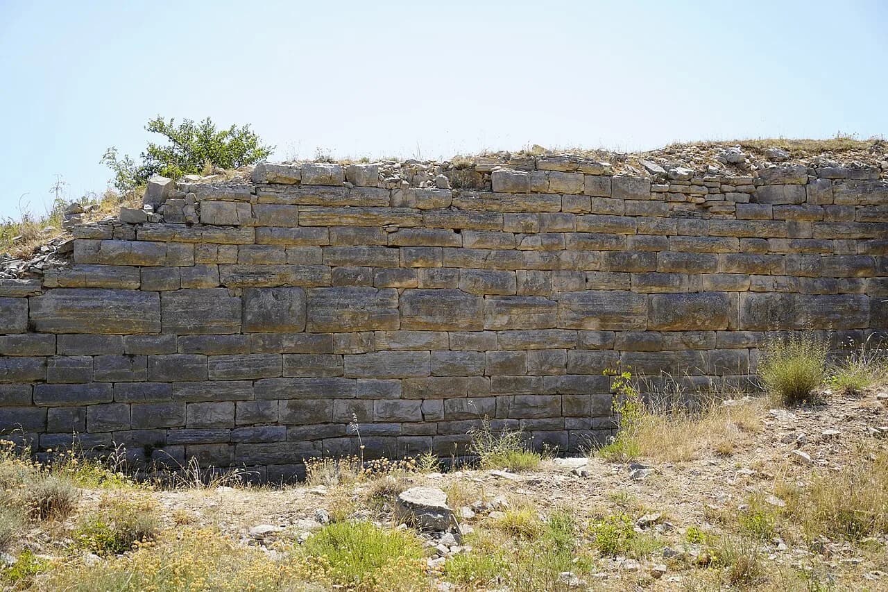
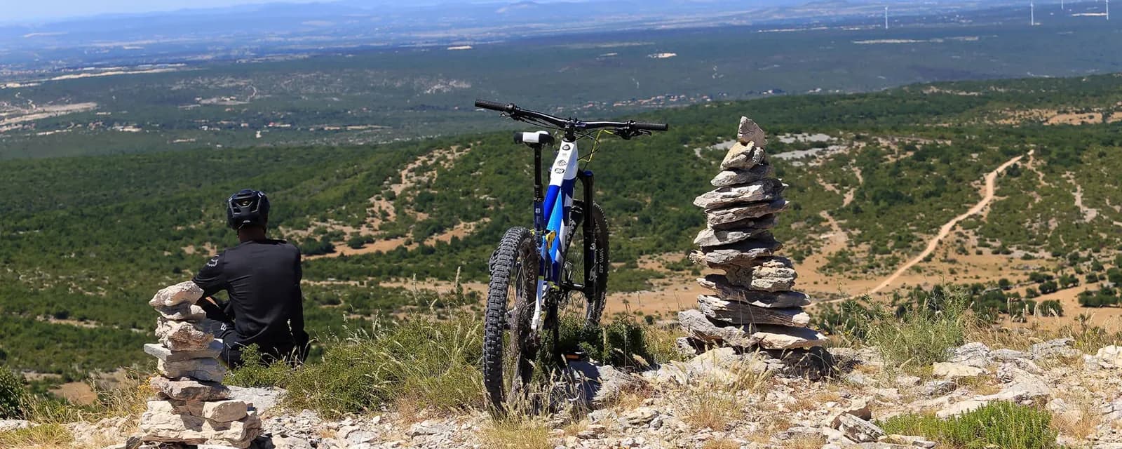
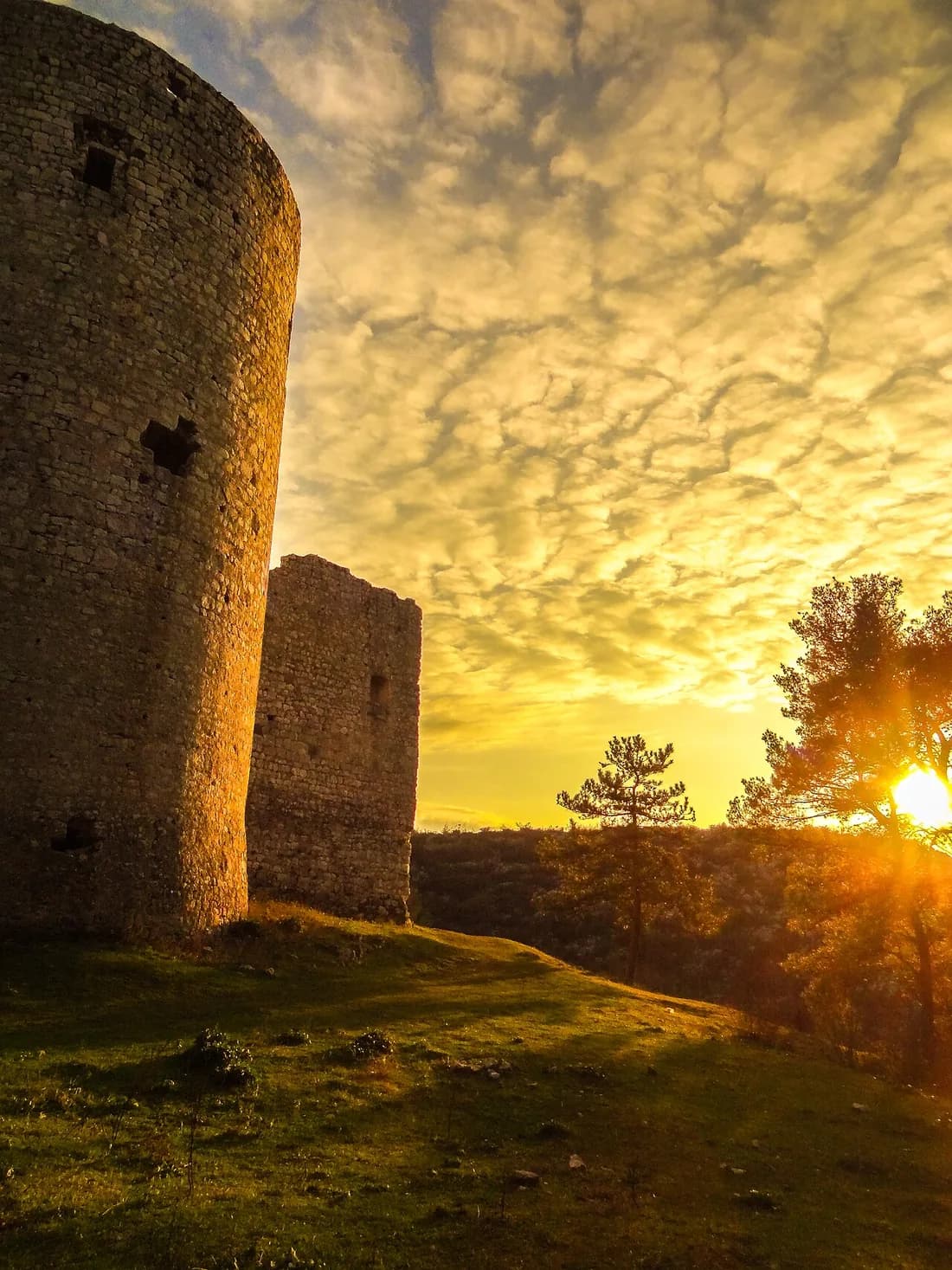
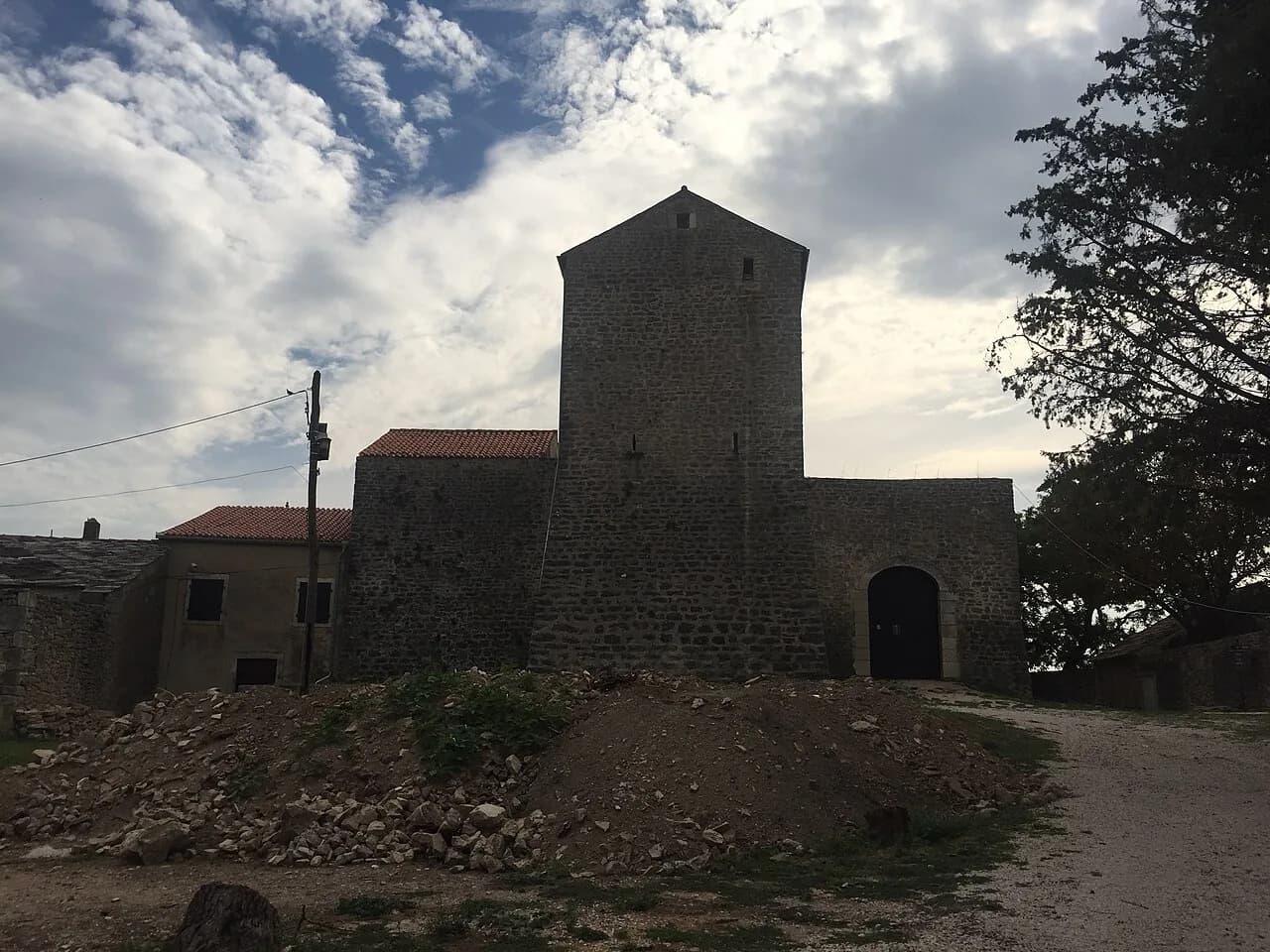
Of the seven routes published by the Ravni kotari Tourist Board, this one comes closest to Škabrnja. The official start and finish are in Benkovac, but the loop swings west to Nadin and Smilčić, so the easiest way to join it from Škabrnja is there: 6.7 km by road to the Nadin hillfort, 8.3 km to Smilčić, and 17.8 km to Kaštel Benković. The loop is 44.8 km long with 449 m of total ascent. The highest point is at 281 m and the lowest at 81 m above sea level. The surface is mostly asphalt with short gravel sections, so no mountain bike is required. TZ Ravni kotari rates it medium (3/5) and allows about three hours of actual riding at 16 km/h. Six rest areas line the route, and each is worth a stop: the church site at Šopot, where the inscription of Duke Branimir was found; the Kličevica fortress above the canyon of the same name; the medieval hillfort of Nadin on the site of Liburnian Nedinum; Smilčić with its Neolithic settlement; Korlat; and finally Kaštel Benković. Route data: TZ Ravni kotari (visitravnikotari.com). All distances from Škabrnja are measured by road. Photos: TZ Ravni kotari · Magdalena Miočev (CC BY-SA 4.0) · Luboš Holič (CC BY-SA 3.0)
Where it is
- 1Kaštel Benković, Benkovac
- 2Crkvina Šopot
- 3Kličevica fortress
- 4Nadin medieval hillfort
- 5Smilčić
- 6Korlat